- Forecast
- Maps
- Live
- Weather State
- Spot Information
Duranbah Previsione surf
/ QLD – Gold Coast (23 breaks) / New South Wales (297 breaks) /
Previsioni
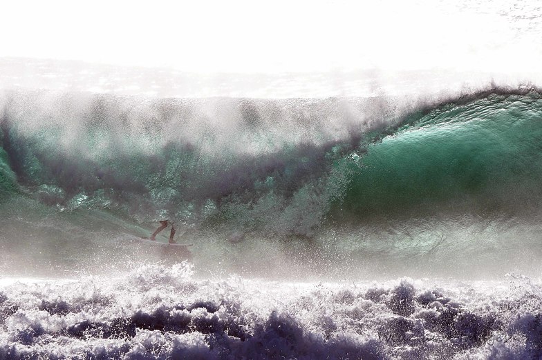
Surf a DuranbahPrevisione / QLD – Gold Coast / Australia
Aggiornamento meteo in hr min s Forecast update imminent
Questi sono altezze d'onde di mare aperto. Onde che si infrangono di solito sono più piccole, specialmente in luoghi riparati.
La temperatura del mare a Duranbah oggi è
21.1° C
(Che è normale per questo periodo dell'anno)Aggiornamento in hr min s Forecast update imminent
Mar 12 | Mercoledì 13 | Giovedì 14 | Venerdì 15 | |||||||||||||||||||||
| 7 PM | 10 PM | 1 AM | 4 AM | 7 AM | 10 AM | 1 PM | 4 PM | 7 PM | 10 PM | 1 AM | 4 AM | 7 AM | 10 AM | 1 PM | 4 PM | 7 PM | 10 PM | 1 AM | 4 AM | 7 AM | 10 AM | 1 PM | 4 PM | |
Voto (10 max) | ||||||||||||||||||||||||
Mappa dell'altezza del moto ondoso |   |    |    |    | ||||||||||||||||||||
| Le onde più grandi (m) & direzione (?) | ||||||||||||||||||||||||
| Periodo(s) (?) | 10 | 10 | 10 | 10 | 10 | 10 | 10 | 10 | 10 | 9 | 9 | 9 | 9 | 9 | 9 | 9 | 9 | 10 | 9 | 9 | 9 | 9 | 9 | 9 |
Grafico (?)delle onde | ||||||||||||||||||||||||
| Energia (?) | 347 | 332 | 312 | 327 | 329 | 334 | 331 | 319 | 306 | 286 | 270 | 234 | 237 | 199 | 250 | 194 | 202 | 200 | 200 | 168 | 313 | 146 | 143 | 162 |
Vento (km/h) | ||||||||||||||||||||||||
| Stato del vento (?) onshore cross-onshore cross-shore cross-offshore offshore piatto | cross | cross- off | cross- off | cross- off | cross- off | glass | cross- on | cross- on | cross- on | glass | cross- off | cross- off | cross- off | cross- off | cross | cross- off | cross- off | cross- off | cross- off | cross- off | cross- off | cross- off | cross | cross |
Alta Marea / altezza (m) | 10:14PM 1.71 | 10:43AM 1.43 | 10:56PM 1.58 | 11:32AM 1.44 | 11:42PM 1.43 | 12:28PM 1.45 | ||||||||||||||||||
Basso Marea / altezza (m) | 4:38AM 0.21 | 4:40PM 0.30 | 5:17AM 0.23 | 5:35PM 0.37 | 6:01AM 0.26 | |||||||||||||||||||
Mar 12 | Mercoledì 13 | Giovedì 14 | Venerdì 15 | |||||||||||||||||||||
| Alba | - | - | - | - | 6:18 | - | - | - | - | - | - | - | 6:18 | - | - | - | - | - | - | - | 6:16 | - | - | - |
| Tramonto | - | - | - | - | - | - | - | 5:22 | - | - | - | - | - | - | - | 5:22 | - | - | - | - | - | - | - | 5:22 |
Piog. (mm) | - | - | - | - | - | - | 1 | 1 | - | 4 | 3 | 2 | - | 1 | 1 | 2 | 1 | 1 | 1 | - | - | - | - | - |
| Temp. °C | 17 | 16 | 16 | 15 | 14 | 17 | 17 | 17 | 17 | 15 | 14 | 14 | 14 | 15 | 16 | 15 | 15 | 14 | 13 | 12 | 12 | 15 | 18 | 17 |
| Feels °C (?) | 15 | 15 | 15 | 14 | 13 | 17 | 16 | 16 | 17 | 14 | 13 | 12 | 12 | 12 | 12 | 12 | 13 | 11 | 10 | 9 | 9 | 12 | 14 | 13 |
- Map Icons:
 Break
Break Live Wave Height (m)
 Live Wind Speed (km/h)
 Surf Rating (10 Max)
 Ocean Swells (m)
- Wind Speed (km/h)
 Recenti Eyeball Surf Report per QLD - Gold Coast

Expand
<
>
View all
1 h 20 min ago
0 km/h
N
Clean
Please reload the page to see if there are any updates.
Widget Free Surf-Forecast.com per il tuo sito
La relazione di surf / widget meteo è disponibile qui sotto per incorporare su siti esterni a titolo gratuito e fornisce una sintesi delle nostre Duranbah previsione surf. Basta prendere il frammento di codice html da noi fornito e copiarlo nel proprio sito. È possibile scegliere la lingua preferita e unità metriche / imperiali per il feed delle previsioni surf per soddisfare le esigenze degli utenti del vostro sito .... Clicca qui per ottenere il codice.
 Nearest