Saint Thomas US Virgin Islands Mappa metereologica

Altri tipi di mappe statiche | Mappa animata
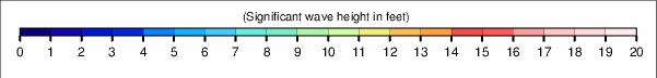
Altri periodi di questa Altezza significativa delle onde mappa

|

|

|

|

|

|

|

|

|

|

|

|

|

|

|

|

|

|

|

|

|

|

|

|

|

|

|

|

|

|
Altri tipi di mappe statiche | Mappa animata
|
|
|
|
|
|
|
|
|
|
|
|
|
|
|
|
|
|
|
|
|
|
|
|
|
|
|
|
|
|
|
|
|
|
|
|


© 2025 Snow-Forecast.com | Terms of Service | Privacy | Cookie Policy
 Nearest