

Anaehoomalu Bay_A-Bay Surf Guide
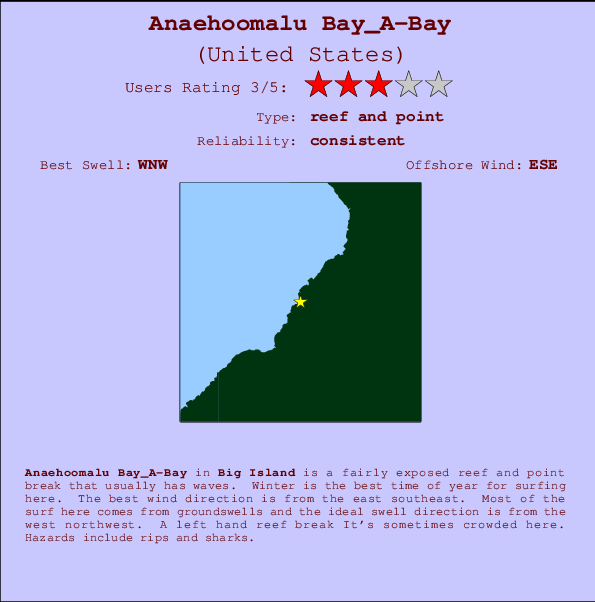
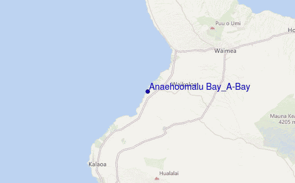
Anaehoomalu Bay_A-Bay in Big Island is a fairly exposed reef and point break that has dependable surf. Winter is the best time of year for surfing here. Offshore winds blow from the east southeast. Tends to receive distant groundswells and the best swell direction is from the northwest. There is a left breaking reef It's sometimes crowded here. Beware of rips and sharks.
Anaehoomalu Bay_A-Bay Spot Info
| Type: | Rating: | Reliability: | Todays Sea Temp*: |
|---|---|---|---|
 Reef and point Reef and point |  3 3 | consistent | 27.6°C*ocean temperature recorded from satellite |
Surfing Anaehoomalu Bay_A-Bay:
The best conditions reported for surf at Anaehoomalu Bay_A-Bay occur when a West-northwest swell combines with an offshore wind direction from the East-southeast.
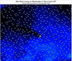
Previsioni Energia d'onda (Potenza): 12hrs
Anaehoomalu Bay_A-Bay Surf:
Thursday, 8 October 2026, 10:55 Local time| Giovedì 08 | ||||
| 11AM | 2PM | 5PM | 8PM | |
| Wave (m) | ||||
| Periodo (s) | 16 | 15 | 15 | 15 |
| Vento (km/h) | ||||
| Stato del vento | cross | cross- on |
cross | cross |
- /breaks/Anaehoomalu-Bay_A-Bay/forecasts/latest
Anaehoomalu Bay_A-Bay Surf Guide
Anaehoomalu Bay_A-Bay in Big Island is a fairly exposed reef and point break that has dependable surf. Winter is the best time of year for surfing here. Offshore winds blow from the east southeast. Tends to receive distant groundswells and the best swell direction is from the northwest. There is a left breaking reef It's sometimes crowded here. Beware of rips and sharks.
Anaehoomalu Bay_A-Bay Spot Info
Type: Rating: Reliability: Todays Sea Temp*: Reef and point3consistent 27.6°C*ocean temperature recorded from satelliteSurfing Anaehoomalu Bay_A-Bay:
The best conditions reported for surf at Anaehoomalu Bay_A-Bay occur when a West-northwest swell combines with an offshore wind direction from the East-southeast.
Previsioni Energia d'onda (Potenza): 12hrs
Utilizzare la scheda di navigazione in alto per visualizzare Anaehoomalu Bay_A-Bay temperatura del mare, Anaehoomalu Bay_A-Bay fotografie, Anaehoomalu Bay_A-Bay dettagliate previsioni onde, il vento e le previsioni meteo, Anaehoomalu Bay_A-Bay webcam, vento corrente da HAW - Big Island stazioni meteo e Anaehoomalu Bay_A-Bay previsioni marea. Il link United States mappe maree apre l'immagine grande, che mostra United States e dei mari circostanti. Queste mappe possono essere animate per mostrare le diverse componenti del moto ondoso, energia delle onde, periodo d'onda, altezza delle onde, insieme con le previsioni del vento e meteo, meteo corrente e osservazioni sullo stato del mare dal United States onda-boe, le navi passanti e stazioni meteo costiere. Ciascuna delle pagine di previsioni per questo surf break rappresenta uno strumento di wavefinder globale e regionale per individuare le migliori condizioni di surf nella zona intorno Anaehoomalu Bay_A-Bay.
Anaehoomalu Bay_A-Bay Surf:
Thursday, 8 October 2026, 10:55 Local timeGiovedì 08 11AM 2PM 5PM 8PM Wave (m) Periodo (s) 16 15 15 15 Vento (km/h) Stato del vento cross cross-
oncross cross - /breaks/Anaehoomalu-Bay_A-Bay/forecasts/latest
- /breaks/Anaehoomalu-Bay_A-Bay/forecasts/latest/six_day
Anaehoomalu Bay_A-Bay Surf Guide
Anaehoomalu Bay_A-Bay in Big Island is a fairly exposed reef and point break that has dependable surf. Winter is the best time of year for surfing here. Offshore winds blow from the east southeast. Tends to receive distant groundswells and the best swell direction is from the northwest. There is a left breaking reef It's sometimes crowded here. Beware of rips and sharks.
Anaehoomalu Bay_A-Bay Spot Info
Type: Rating: Reliability: Todays Sea Temp*: Reef and point3consistent 27.6°C*ocean temperature recorded from satelliteSurfing Anaehoomalu Bay_A-Bay:
The best conditions reported for surf at Anaehoomalu Bay_A-Bay occur when a West-northwest swell combines with an offshore wind direction from the East-southeast.
Previsioni Energia d'onda (Potenza): 12hrs
Utilizzare la scheda di navigazione in alto per visualizzare Anaehoomalu Bay_A-Bay temperatura del mare, Anaehoomalu Bay_A-Bay fotografie, Anaehoomalu Bay_A-Bay dettagliate previsioni onde, il vento e le previsioni meteo, Anaehoomalu Bay_A-Bay webcam, vento corrente da HAW - Big Island stazioni meteo e Anaehoomalu Bay_A-Bay previsioni marea. Il link United States mappe maree apre l'immagine grande, che mostra United States e dei mari circostanti. Queste mappe possono essere animate per mostrare le diverse componenti del moto ondoso, energia delle onde, periodo d'onda, altezza delle onde, insieme con le previsioni del vento e meteo, meteo corrente e osservazioni sullo stato del mare dal United States onda-boe, le navi passanti e stazioni meteo costiere. Ciascuna delle pagine di previsioni per questo surf break rappresenta uno strumento di wavefinder globale e regionale per individuare le migliori condizioni di surf nella zona intorno Anaehoomalu Bay_A-Bay.
Anaehoomalu Bay_A-Bay Surf:
Thursday, 8 October 2026, 10:55 Local timeGiovedì 08 11AM 2PM 5PM 8PM Wave (m) Periodo (s) 16 15 15 15 Vento (km/h) Stato del vento cross cross-
oncross cross - /breaks/Anaehoomalu-Bay_A-Bay/forecasts/latest
Anaehoomalu Bay_A-Bay Surf Guide
Anaehoomalu Bay_A-Bay in Big Island is a fairly exposed reef and point break that has dependable surf. Winter is the best time of year for surfing here. Offshore winds blow from the east southeast. Tends to receive distant groundswells and the best swell direction is from the northwest. There is a left breaking reef It's sometimes crowded here. Beware of rips and sharks.
Anaehoomalu Bay_A-Bay Spot Info
Type: Rating: Reliability: Todays Sea Temp*: Reef and point3consistent 27.6°C*ocean temperature recorded from satelliteSurfing Anaehoomalu Bay_A-Bay:
The best conditions reported for surf at Anaehoomalu Bay_A-Bay occur when a West-northwest swell combines with an offshore wind direction from the East-southeast.
Previsioni Energia d'onda (Potenza): 12hrs
Utilizzare la scheda di navigazione in alto per visualizzare Anaehoomalu Bay_A-Bay temperatura del mare, Anaehoomalu Bay_A-Bay fotografie, Anaehoomalu Bay_A-Bay dettagliate previsioni onde, il vento e le previsioni meteo, Anaehoomalu Bay_A-Bay webcam, vento corrente da HAW - Big Island stazioni meteo e Anaehoomalu Bay_A-Bay previsioni marea. Il link United States mappe maree apre l'immagine grande, che mostra United States e dei mari circostanti. Queste mappe possono essere animate per mostrare le diverse componenti del moto ondoso, energia delle onde, periodo d'onda, altezza delle onde, insieme con le previsioni del vento e meteo, meteo corrente e osservazioni sullo stato del mare dal United States onda-boe, le navi passanti e stazioni meteo costiere. Ciascuna delle pagine di previsioni per questo surf break rappresenta uno strumento di wavefinder globale e regionale per individuare le migliori condizioni di surf nella zona intorno Anaehoomalu Bay_A-Bay.
Anaehoomalu Bay_A-Bay Surf:
Thursday, 8 October 2026, 10:55 Local timeGiovedì 08 11AM 2PM 5PM 8PM Wave (m) Periodo (s) 16 15 15 15 Vento (km/h) Stato del vento cross cross-
oncross cross Tide Times:
A Anaehoomalu Bay_A-Bay (0 km).
PROSSIMA È ALLE (ora locale) rimanente alta marea bassa marea Anaehoomalu Bay_A-Bay Tide Times and Tide Chart
Live Weather:
At BUOY-KWHH1, 15 km from Anaehoomalu Bay_A-Bay.
light winds from the WNW
(km/h)Air temperature
-°CCurrent weather near Anaehoomalu Bay_A-Bay
Buoy Data:
At Hilo, Hawaii, HI, 61 miles from Anaehoomalu Bay_A-Bay.
6AM 7AM 8AM 9AM Attualità dei dati 4 hr 3 hr 2 hr 1 hr Altezza delle onde (m) 


Periodo dominante (s) 14 13 13 13 Overall Anaehoomalu Bay_A-Bay Surf Consistency and Wind Distribution in Ottobre



Wind stats for Anaehoomalu Bay_A-Bay: see the variation in direction and stength by month.
foto dall' album
Contorni: Strade e fiumi: seleziona un surf break dal menu 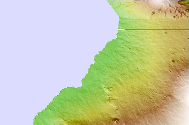
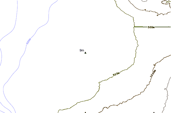
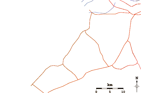
Utilizzare questa mappa sollievo per navigare HAW - Big Island surf breaks e stazioni di marea che si trovano nella zona diAnaehoomalu Bay_A-Bay
Altri surf breaks più vicini al Anaehoomalu Bay_A-Bay:
(clicca sul nome del luogo per maggiori informazioni)- Closest località surf2 mi
- Second closest località surf2 mi
- Third closest località surf3 mi
- Fourth closest località surf5 mi
- Fifth closest località surf5 mi
Onda boe più vicina a Anaehoomalu Bay_A-Bay:
- Closest Onda boa61 mi
- Second closest Onda boa84 mi
- Third closest Onda boa92 mi
- Fourth closest Onda boa155 mi
- Fifth closest Onda boa162 mi
Stazioni di marea più vicina alla Anaehoomalu Bay_A-Bay:
- Closest marea stazioneKawaihae, Big Island9 mi
- Second closest marea stazioneMahukona Island19 mi
- Third closest marea stazioneKailua Kona, Big Island21 mi
- Fourth closest marea stazioneHolualoa21 mi
- Fifth closest marea stazioneNapoopoo, Kealakekua Bay Island31 mi
Airports
- The closest passenger airport to Anaehoomalu Bay_A-Bay is Waimea Kohala (Kamuela) Airport (MUE) in Usa Hawaii Isl., 25 km (16 miles) away (directly).
- The second nearest airport to Anaehoomalu Bay_A-Bay is Kona International At Keahole Airport (KOA), also in Usa Hawaii Isl., 26 km (16 miles) away.
- Third is Bradshaw Aaf Airport (BSF) in Usa Hawaii Isl., 39 km (24 miles) away.
- Upolu (Opolu) Airport (UPP) in USA is 39 km (24 miles) away.
- Hilo International Airport (ITO) in Usa Hawaii Isl. is the fifth nearest airport to Anaehoomalu Bay_A-Bay and is 91 km (57 miles) away.
- /breaks/Anaehoomalu-Bay_A-Bay/forecasts/latest

 Nearest