
Danger Surf Guide
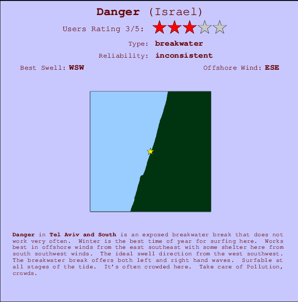
Danger in Tel Aviv and South is an exposed breakwater break that only works once in a while. Winter is the favoured time of year for surfing here. Offshore winds are from the east southeast with some shelter here from south southwest winds. The ideal swell direction from the west southwest. The breakwater breaks offer lefts and rights. The quality of the surf isn't affected by the tide. Likely to be crowded if working. Beware of Pollution, crowds.
Danger Spot Info
| Type: | Rating: | Reliability: | Todays Sea Temp*: |
|---|---|---|---|
| inconsistent | 27.9°C*ocean temperature recorded from satellite |
Surfing Danger:
The best conditions reported for surf at Danger occur when a West-southwest swell combines with an offshore wind direction from the East-southeast.
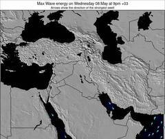
Previsioni Energia d'onda (Potenza): 12hrs

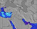
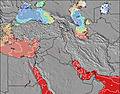
Danger Surf:
Friday, 17 July 2026, 16:34 Local time| Venerdì 17 | ||||
| 12PM | 3PM | 6PM | 9PM | |
| Wave (m) | ||||
| Periodo (s) | 7 | 7 | 7 | 7 |
| Vento (km/h) | ||||
| Stato del vento | cross- on |
on | on | on |
- /breaks/Danger/forecasts/latest
Danger Surf Guide
Danger in Tel Aviv and South is an exposed breakwater break that only works once in a while. Winter is the favoured time of year for surfing here. Offshore winds are from the east southeast with some shelter here from south southwest winds. The ideal swell direction from the west southwest. The breakwater breaks offer lefts and rights. The quality of the surf isn't affected by the tide. Likely to be crowded if working. Beware of Pollution, crowds.
Danger Spot Info
Type: Rating: Reliability: Todays Sea Temp*:  Breakwater
 3
3inconsistent 27.9°C*ocean temperature recorded from satelliteSurfing Danger:
The best conditions reported for surf at Danger occur when a West-southwest swell combines with an offshore wind direction from the East-southeast.
Previsioni Energia d'onda (Potenza): 12hrs
Utilizzare la scheda di navigazione in alto per visualizzare Danger temperatura del mare, Danger fotografie, Danger dettagliate previsioni onde, il vento e le previsioni meteo, Danger webcam, vento corrente da Tel Aviv and South stazioni meteo e Danger previsioni marea. Il link Israel mappe maree apre l'immagine grande, che mostra Israel e dei mari circostanti. Queste mappe possono essere animate per mostrare le diverse componenti del moto ondoso, energia delle onde, periodo d'onda, altezza delle onde, insieme con le previsioni del vento e meteo, meteo corrente e osservazioni sullo stato del mare dal Israel onda-boe, le navi passanti e stazioni meteo costiere. Ciascuna delle pagine di previsioni per questo surf break rappresenta uno strumento di wavefinder globale e regionale per individuare le migliori condizioni di surf nella zona intorno Danger.
Danger Surf:
Friday, 17 July 2026, 16:34 Local timeVenerdì 17 12PM 3PM 6PM 9PM Wave (m) Periodo (s) 7 7 7 7 Vento (km/h) Stato del vento cross-
onon on on - /breaks/Danger/forecasts/latest
- /breaks/Danger/forecasts/latest/six_day
Danger Surf Guide
Danger in Tel Aviv and South is an exposed breakwater break that only works once in a while. Winter is the favoured time of year for surfing here. Offshore winds are from the east southeast with some shelter here from south southwest winds. The ideal swell direction from the west southwest. The breakwater breaks offer lefts and rights. The quality of the surf isn't affected by the tide. Likely to be crowded if working. Beware of Pollution, crowds.
Danger Spot Info
Type: Rating: Reliability: Todays Sea Temp*: Breakwater3inconsistent 27.9°C*ocean temperature recorded from satelliteSurfing Danger:
The best conditions reported for surf at Danger occur when a West-southwest swell combines with an offshore wind direction from the East-southeast.
Previsioni Energia d'onda (Potenza): 12hrs
Utilizzare la scheda di navigazione in alto per visualizzare Danger temperatura del mare, Danger fotografie, Danger dettagliate previsioni onde, il vento e le previsioni meteo, Danger webcam, vento corrente da Tel Aviv and South stazioni meteo e Danger previsioni marea. Il link Israel mappe maree apre l'immagine grande, che mostra Israel e dei mari circostanti. Queste mappe possono essere animate per mostrare le diverse componenti del moto ondoso, energia delle onde, periodo d'onda, altezza delle onde, insieme con le previsioni del vento e meteo, meteo corrente e osservazioni sullo stato del mare dal Israel onda-boe, le navi passanti e stazioni meteo costiere. Ciascuna delle pagine di previsioni per questo surf break rappresenta uno strumento di wavefinder globale e regionale per individuare le migliori condizioni di surf nella zona intorno Danger.
Danger Surf:
Friday, 17 July 2026, 16:34 Local timeVenerdì 17 12PM 3PM 6PM 9PM Wave (m) Periodo (s) 7 7 7 7 Vento (km/h) Stato del vento cross-
onon on on - /breaks/Danger/forecasts/latest
Danger Surf Guide
Danger in Tel Aviv and South is an exposed breakwater break that only works once in a while. Winter is the favoured time of year for surfing here. Offshore winds are from the east southeast with some shelter here from south southwest winds. The ideal swell direction from the west southwest. The breakwater breaks offer lefts and rights. The quality of the surf isn't affected by the tide. Likely to be crowded if working. Beware of Pollution, crowds.
Danger Spot Info
Type: Rating: Reliability: Todays Sea Temp*: Breakwater3inconsistent 27.9°C*ocean temperature recorded from satelliteSurfing Danger:
The best conditions reported for surf at Danger occur when a West-southwest swell combines with an offshore wind direction from the East-southeast.
Previsioni Energia d'onda (Potenza): 12hrs
Utilizzare la scheda di navigazione in alto per visualizzare Danger temperatura del mare, Danger fotografie, Danger dettagliate previsioni onde, il vento e le previsioni meteo, Danger webcam, vento corrente da Tel Aviv and South stazioni meteo e Danger previsioni marea. Il link Israel mappe maree apre l'immagine grande, che mostra Israel e dei mari circostanti. Queste mappe possono essere animate per mostrare le diverse componenti del moto ondoso, energia delle onde, periodo d'onda, altezza delle onde, insieme con le previsioni del vento e meteo, meteo corrente e osservazioni sullo stato del mare dal Israel onda-boe, le navi passanti e stazioni meteo costiere. Ciascuna delle pagine di previsioni per questo surf break rappresenta uno strumento di wavefinder globale e regionale per individuare le migliori condizioni di surf nella zona intorno Danger.
Danger Surf:
Friday, 17 July 2026, 16:34 Local timeVenerdì 17 12PM 3PM 6PM 9PM Wave (m) Periodo (s) 7 7 7 7 Vento (km/h) Stato del vento cross-
onon on on Tide Times:
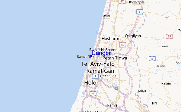
Per Tel Aviv-Yafo, %{dist} %{km} da %{location}.
PROSSIMA È ALLE (ora locale) rimanente alta marea bassa marea Danger Tide Times and Tide Chart
Live Weather:
At Marina Herzlia, 6 km from Danger.
moderate winds from the W
(km/h)Air temperature
29.2°Cfoto dall' album
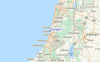
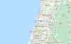
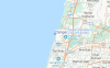
Contorni: Strade e fiumi: seleziona un surf break dal menu 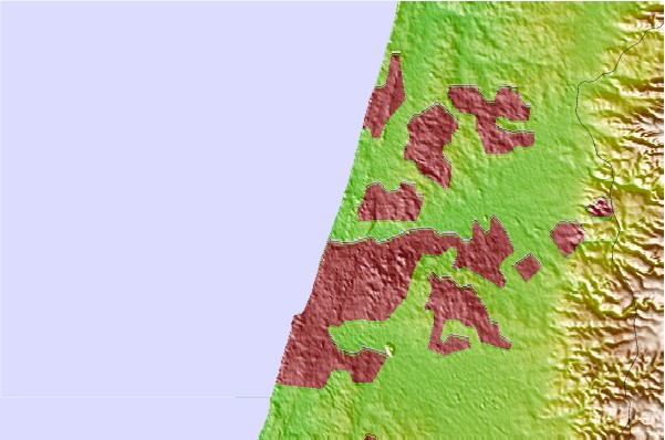
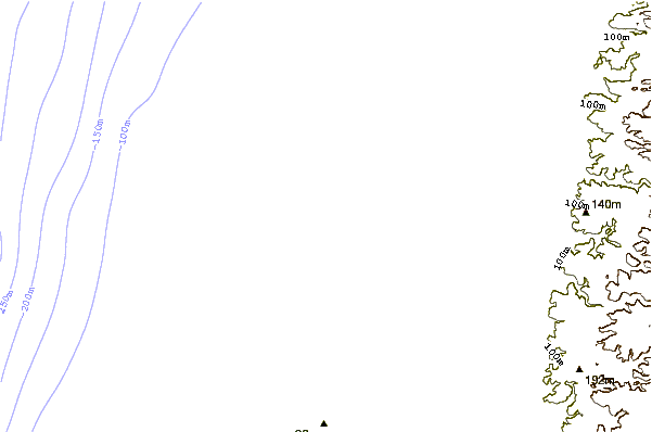
Utilizzare questa mappa sollievo per navigare Tel Aviv and South surf breaks e stazioni di marea che si trovano nella zona diDanger
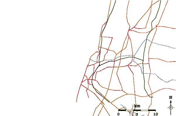
Altri surf breaks più vicini al Danger:
(clicca sul nome del luogo per maggiori informazioni)- Closest località surf1 mi
- Second closest località surf1 mi
- Third closest località surf1 mi
- Fourth closest località surf1 mi
- Fifth closest località surf1 mi
Onda boe più vicina a Danger:
- Closest Onda boa1658 mi
- Second closest Onda boa1784 mi
- Third closest Onda boa2120 mi
- Fourth closest Onda boa2124 mi
- Fifth closest Onda boa2139 mi
Stazioni di marea più vicina alla Danger:
- Closest marea stazioneTel Aviv-Yafo2 mi
- Second closest marea stazioneRamat Gan3 mi
- Third closest marea stazioneGiv`atayim4 mi
- Fourth closest marea stazioneYafo4 mi
- Fifth closest marea stazioneHerzliya5 mi
Airports
- The closest passenger airport to Danger is Sde Dov (Tel-aviv) Airport (SDV) in Israel, 1 km (1 miles) away (directly).
- The second nearest airport to Danger is Ben Gurion (Tel-aviv) Airport (TLV), also in Israel, 15 km (9 miles) away.
- Third is Jerusalem/atarot Airport (JRS) in Israel, 50 km (31 miles) away.
- Haifa Airport (HFA) in Israel is 82 km (51 miles) away.
- Teyman (Beer-sheba) Airport (BEV), also in Israel is the fifth nearest airport to Danger and is 92 km (57 miles) away.
- /breaks/Danger/forecasts/latest
 Nearest